The Site
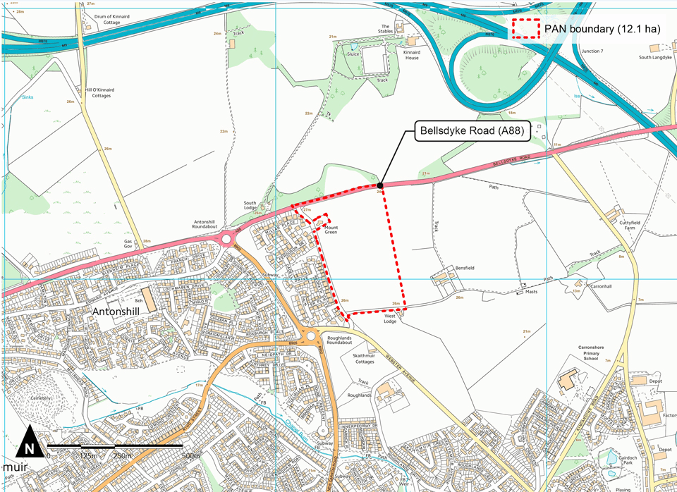
The site is outlined in red on the site plan below.
It is located off Bellsdyke Road, bounding the site to the north. To the south and east is open Green Belt and to the west is existing residential properties. It extends to c. 27 acres. The site is located on a flat, steady gradient throughout. The site sits in an area that has a history of possible coal mining but is now used for agricultural purposes.
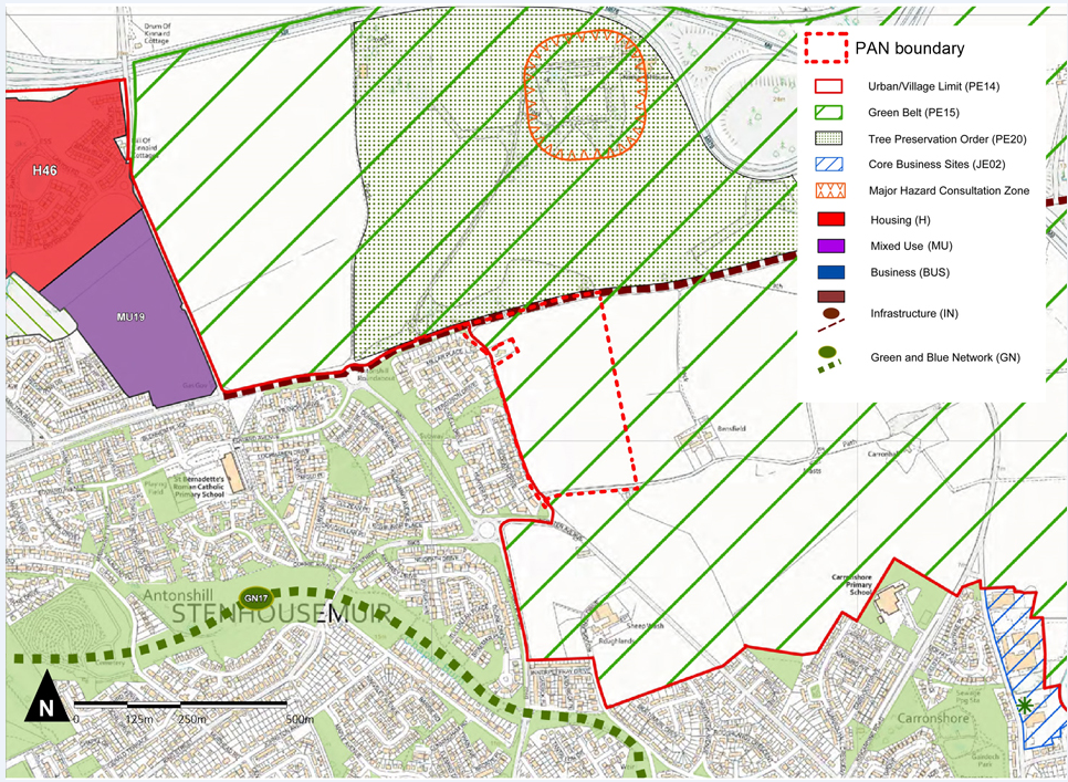
Falkirk Council, as the local authority, have identified the site as a part of the Green Belt [PE15] within their 2020 Adopted Local Development Plan. There are no further policy constraints on the site.
The extract below shows the extent of the site in the LDP’s Proposals Map.


