Planning context
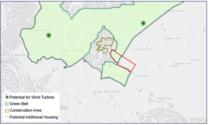
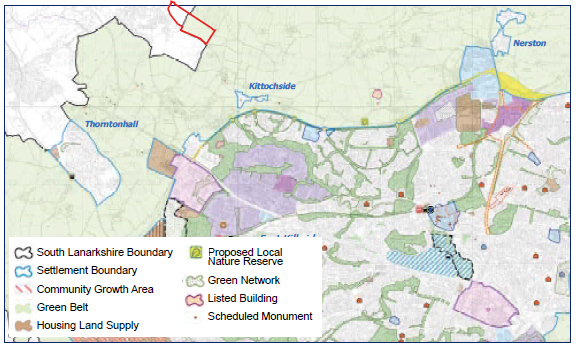
The site falls within Glasgow City Council (GCC) and South Lanarkshire Council (SLC).
The area of the site that is within GCC is governed by policies in the Strategic Development Plan (Clydeplan 2017) and the Glasgow City Development Plan which was adopted in March 2017. As identified within the Glasgow City Development Plan (GCDP), the site is within the green belt, immediately adjacent to the established settlement edge of Carmunnock to the west and south. This site, and the area of the site within Glasgow is also within the Cathkin Braes Country Park Site of Special Landscape Importance.
The area of the site that is within SLC is governed by Clydeplan 2017 and the South Lanarkshire Local Development Plan 2 which was adopted in April 2021. As identified within the SLC LDP2, the site is within the green belt and is immediately adjacent to the settlement edge of Carmunnock (within Glasgow).
The site benefits from strong boundaries, including hedgerows, woodland, stone dykes and existing housing, creating a well defined and enclosed site; together with further opportunities to reinforce existing boundaries, subject to the further consideration of any potential development layout.
It is considered that the development of the site to an appropriate scale and layout will not compromise the purposes of the green belt; nor will it lead to coalescence between Carmunnock and East Kilbride which remains approximately 1km to the south east of the site.
Together with an appropriate design and layout strategy which will seek to integrate with the settlement, the proposal offers an opportunity to provide new homes in a sustainable location to sustain existing village services and will support 20-minute neighbourhood principles having regard to the proximity of the site to the village. Aligning with key national planning policy principles of the Scottish Government’s Scottish Planning Policy (SPP) and the emerging National Planning Framework 4 (NPF4).


