The Site
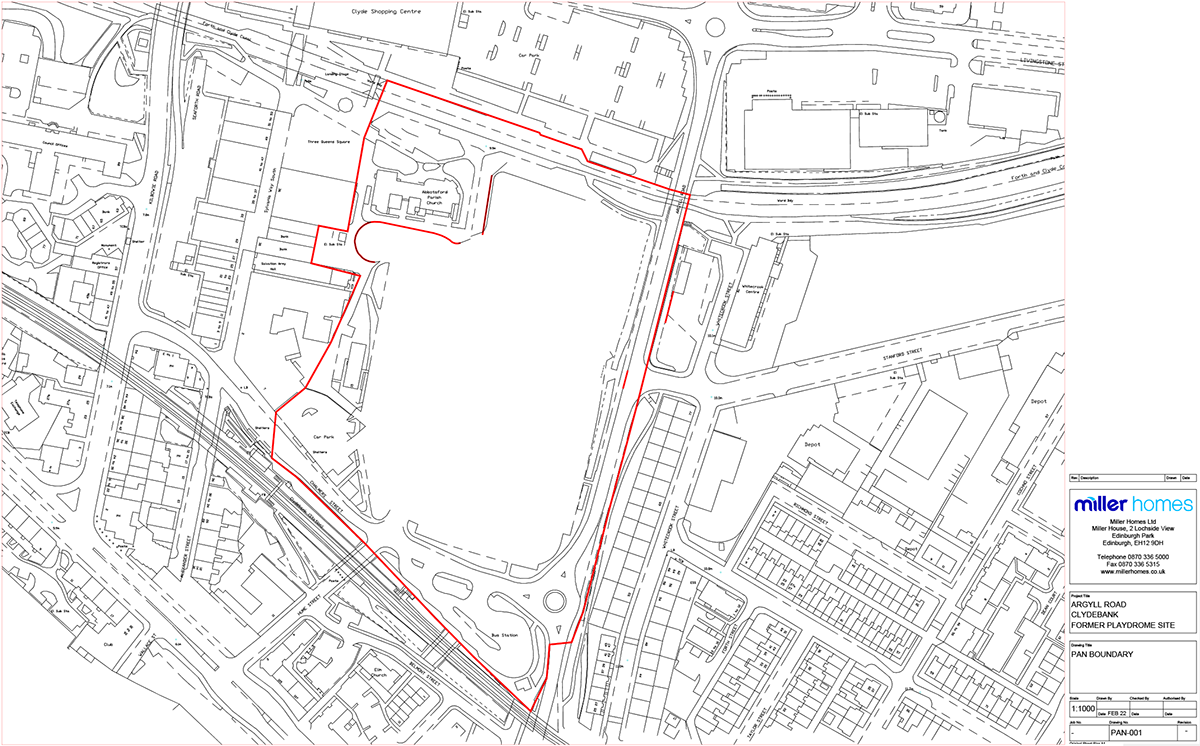
The site is outlined in red on the site plan below.
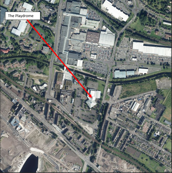
It is located centrally within the town of Clydebank, to the north of Chalmer Street and west of Argyll Road.
Bounded to the north by the Forth & Clyde Canal, which is an ancient scheduled monument, to east lies Argyll Road, with residential dwellings beyond. The site is bound to the west by the rear of commercial units, associated with Alexander Street, and to the south by Chalmers Street, with the Helensburgh to Glasgow railway line beyond, at height.
At present the site has no particular use, is generally level and irregular in shape and once housed the Playdrome, a leisure facility that has now been demolished, with the resultant debris cleared from site.
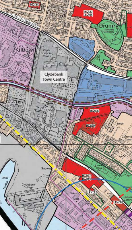
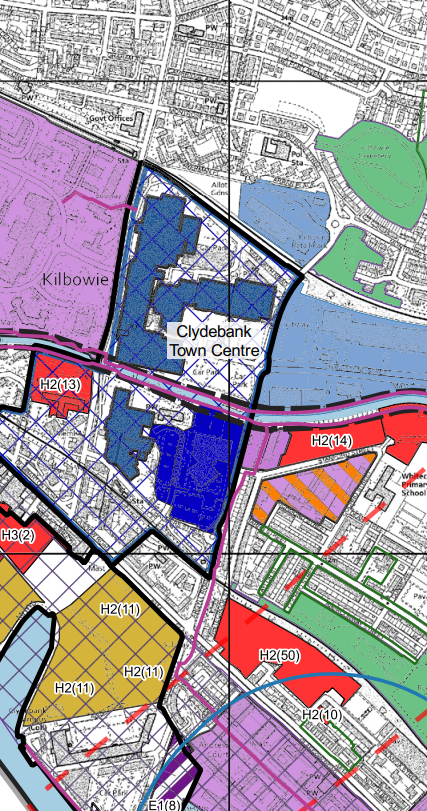
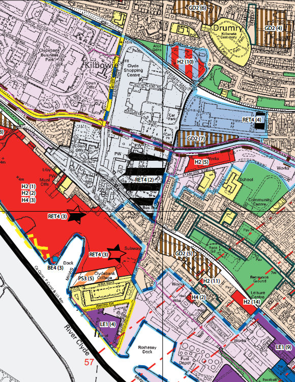
West Dunbartonshire Council, as a local authority, identified the site as being capable of re-development purposes in their 2010 Adopted Local Plan [Policy RET4 (2)], a position that was strengthened within the proposed West Dunbartonshire Local Development Plan – 2015, when the site was specifically noted as a “Changing Place”.
From the information publicly available, this allocation has not been altered within the next iteration of the West Dunbartonshire Local Development Plan.
For the avoidance of doubt, this modified Plan and associated documents were approved by the Council on 19 August 2020. The Council then advised the Scottish Ministers of its intention to adopt the 2020 Plan but received a direction in this regard. The Council has been considering the implications of the December 2020 Direction, and no date has been confirmed as to when or even if the 2020 plan will be adopted.
A extract of the Adopted Local Development Plan is included below for reference purposes.
