Site and Planning Context
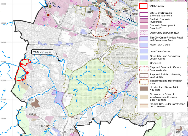
The site is located on the western edge of Glasgow City, immediately adjacent to the settlement
Development of the site presents an opportunity to provide a better edge between the settlement and the surrounding countryside. At present much of the settlement edge in this location is weak, presenting a poor interface with the countryside. The development presents the opportunity to rectify this by creating a new clear Green Belt boundary defined by features such as White Cart Water.
Furthermore, the delivery of new open spaces which are well connected and overlooked will promote access to the countryside in this location.
The site is currently identified within the adopted Glasgow City Development Plan as being within the Green Belt. The primary function of the Green Belt in this location is to provide separation between Glasgow and Paisley.
Development of the site does not compromise this objective of the Green Belt as separation between Glasgow and Paisley would remain. Release of this site from the Green Belt will help the Council to achieve its effective housing land supply target.
A number of cultural heritage assets are located within the local context of the site. Of these, The A Listed Towerview Unit of former Leverndale Hospital is the only feature with potential to be affected by the development of the site. Intervisibility of the site is generally only experienced from the top of the water tower which is inaccessible to the public.
Additional assessment work will be undertaken to understand the effects of the proposal on the surrounding area. If required, mitigation will be incorporated into the design to ensure the proposal provides an appropriate response to its context.